Public record · civic memory · regional context

Seattle ChronicleHistorical record & civic resource

A curated reading room for Seattle’s public life and changing cityscape.

Places & culture · watershed record

Cedar River Watershed Virtual Tour

A preserved pathway through the Cedar River Watershed, from the lower river and reservoirs to the upper watershed and Cascade Crest. Read the tour as a historical guide to conservation, water, and landscape.

Misty evergreen forest and mountain watershed landscape
The watershed connects public water, protected forest, and a long regional landscape.

resource entry

A guided view of a protected water landscape

The original tour introduced the watershed through a sequence of landscape views. This resource edition preserves that structure while adding context for readers exploring the subject today.

06 February 2001 · Conservation & environment

From river corridor to mountain headwaters

The Cedar River Watershed was presented as a connected system: lower watershed reaches, falls, reservoirs, upper forests, and high-elevation terrain. Together, these places show how water management and conservation are read across a broad geographic setting.
Enter the preserved tour →

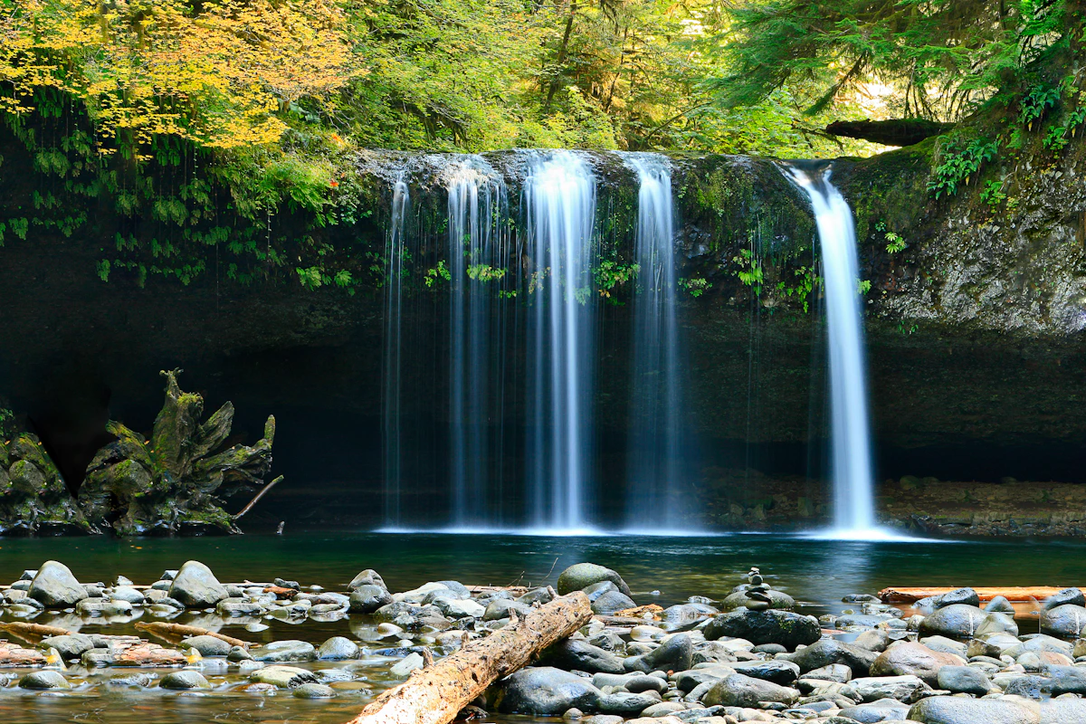
Calm river flowing through a green forest valley
Watershed views are best understood as a sequence of connected places.

Tour shelves

Five views along the route

Use these headings as a reading index for the preserved virtual tour, moving from the lower river toward the high country.

01 · Lower reaches

Lower Watershed

River corridors and crossings establish the watershed’s connection to communities and everyday infrastructure.

02 · Water movement

Cedar Falls Area

Falls and steep terrain provide a visual account of the river’s changing elevation and force.

03 · Stored water

Reservoirs

Reservoir landscapes show the relationship between water supply, engineering, and protected surroundings.

04 · Forest country

Upper Watershed

Higher forested areas broaden the tour from managed water infrastructure to ecological context.

05 · High ground

Cascade Crest

The final view places the watershed within the larger mountain environment that feeds its waterways.

Access & learning

Ways to continue beyond the screen

Preserved reference

Begin the virtual tour

Follow the original sequence of views and read the watershed as a connected landscape.

Public access

Public tours

The source page identifies guided opportunities that were available by reservation.

School programs

School field programs

Educational programming offered another route into the watershed’s environmental and civic context.

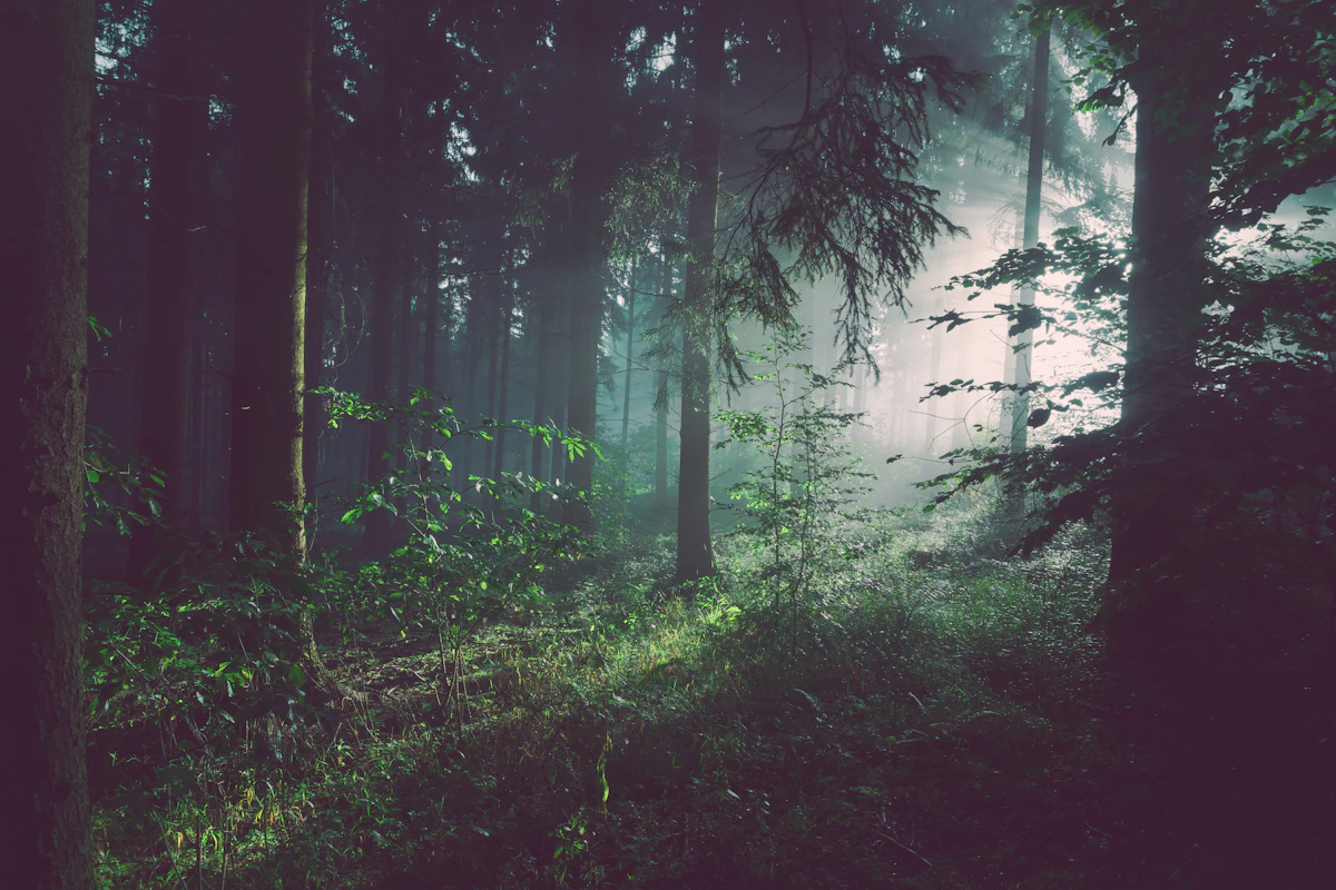
Sunlight filtering through tall evergreen trees
Forest protection is one part of the watershed’s wider public story.

How to read it

A practical method for an older tour

This page is an resource reference, not a current operating notice. Dates, links, and program descriptions should be checked against present-day official information before planning a visit or activity.

  1. Start with the landscape

    Notice how the tour moves from lower river settings toward reservoirs, forests, and mountain terrain.

  2. Follow the sequence

    Each view adds geographic context to the one before it, creating a readable route through the watershed.

  3. Separate record from instruction

    Historical descriptions explain the resourced page; current access conditions belong to today’s responsible source.

  4. Keep the wider context

    Water supply, conservation, education, and public access all meet in this landscape record.

Reader’s desk

Questions about the watershed tour

Context for exploring this preserved environmental and civic resource.

What is this page?

It is aed resource guide to a Cedar River Watershed virtual tour formerly presented as part of a public utilities information site.

Does the page provide current visitor information?

No. It preserves historical context and links. Confirm current access, reservations, closures, and safety guidance through current official sources.

What does the tour cover?

The route includes the Lower Watershed, Cedar Falls Area, reservoirs, Upper Watershed, and Cascade Crest.

Are guided programs part of the record?

Yes. The source describes public tours and school field programs as reservation-based opportunities.

Why is the original date retained?

The date identifies the period of the preserved material and helps distinguish resource description from present-day information.

resource desk

Find related Seattle Chronicle references

Browse the broader collection for maps, public services, environmental context, and places connected to Seattle’s civic record.

Explore places & culture